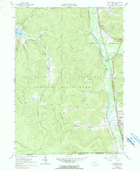
1961 Map of Limestone
USGS Topo · Published 1990About this map
The Allegheny River valley and the southeastern reaches of Allegany State Park define this 1961 landscape along the New York and Pennsylvania border. The map reveals a robust industrial and recreational infrastructure, where the Baltimore and Ohio and Erie-Lackawanna railroads follow the watercourses, serving settlements like Limestone and Carrollton.
Find a feature on this map
50 named features on this map. Tap any name to fly to it.
Don’t see what you’re looking for? This feature index may not catch every label — zoom into the map to look around manually.
Map Details
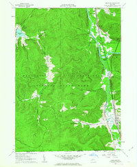
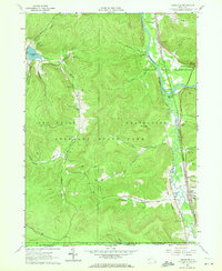
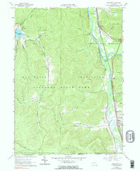
Editions of this 1961 Limestone Map
4 editions found
Other maps of this area

1900 · Salamanca
USGS Topo · 1:62,500

1922 · Randolph
USGS Topo · 1:62,500

1923 · Randolph
USGS Topo · 1:62,500

1924 · Bradford
USGS Topo · 1:62,500

1926 · Bradford
USGS Topo · 1:62,500

1936 · Kinzua
USGS Topo · 1:48,000

1938 · Salamanca
USGS Topo · 1:62,500

1941 · Kinzua
USGS Topo · 1:62,500

1941 · Bradford
USGS Topo · 1:62,500

1943 · Randolph
USGS Topo · 1:62,500
Featured Places
- Carrollton, NY
- Limestone, Carrollton
- Red House, NY
- Bradford Junction, Carrollton
- Riverside Junction, Carrollton