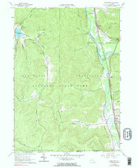
1961 Map of Limestone
USGS Topo · Published 1990About this map
Allegany State Park dominates the western half of this landscape, featuring a network of recreation sites like the Bova Ski Tow and several named camping areas such as Camp No 11 and Camp Carleton. In the eastern valley, the industrial and transport corridor follows the Allegheny River and Tunungwant Creek. This low-lying ground is densely marked with signs of resource extraction, including numerous Oil Wells and a Gravel Pit near the settlement of Limestone. The map documents a critical rail intersection at Bradford Junction, where the Baltimore and Ohio and Erie-Lackawanna railroads converge near Riverside Junction. To the south, the terrain rises toward the Pennsylvania border, marked by the geological formations at Thunder Rocks and the heights of McIntosh Mountain.
Find a feature on this map
54 named features on this map. Tap any name to fly to it.
Don’t see what you’re looking for? This feature index may not catch every label — zoom into the map to look around manually.
Map Details
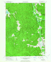
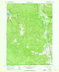
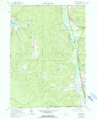
Editions of this 1961 Limestone Map
4 editions found
Other maps of this area

1900 · Salamanca
USGS Topo · 1:62,500

1922 · Randolph
USGS Topo · 1:62,500

1923 · Randolph
USGS Topo · 1:62,500

1924 · Bradford
USGS Topo · 1:62,500

1926 · Bradford
USGS Topo · 1:62,500

1936 · Kinzua
USGS Topo · 1:48,000

1938 · Salamanca
USGS Topo · 1:62,500

1941 · Kinzua
USGS Topo · 1:62,500

1941 · Bradford
USGS Topo · 1:62,500

1943 · Randolph
USGS Topo · 1:62,500
Featured Places
- Carrollton, NY
- Limestone, Carrollton
- Red House, NY
- Bradford Junction, Carrollton
- Riverside Junction, Carrollton