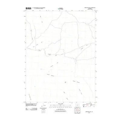
2010 Map of Limestone Hill
USGS Topo · Published 2010About this map
Douglas Mountain dominates the southern landscape of this Colorado high country, serving as a significant topographical anchor in a region defined by high mesas and deep drainages. Family names are etched into the geography through features like John Weller Mesa, Bill Weller Mesa, and Allred Peak, suggesting a history of local land use and ranching ties. The terrain is marked by a complex system of seasonal watercourses including Sager Draw and Weller Draw that feed into the larger plateau system.
Find a feature on this map
14 named features on this map. Tap any name to fly to it.
Don’t see what you’re looking for? This feature index may not catch every label — zoom into the map to look around manually.
Map Details
Editions of this 2010 Limestone Hill Map
This is the sole edition of this map. No revisions or reprints were ever made.
Other maps of this area

1907 · Rangely
USGS Topo · 1:125,000

1907 · White River
USGS Topo · 1:125,000

1910 · White River
USGS Topo · 1:125,000

1910 · Rangely
USGS Topo · 1:125,000

1954 · Vernal
USGS Topo · 1:250,000

1958 · Vernal
USGS Topo · 1:250,000

1960 · Vernal
USGS Topo · 1:250,000

1960 · Elk Springs
USGS Topo · 1:62,500

1960 · Lone Mountain
USGS Topo · 1:62,500

1962 · Indian Water Canyon
USGS Topo · 1:24,000