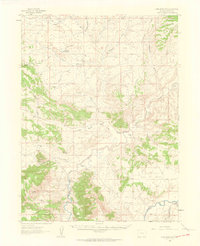
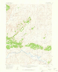
1960 Map of Lone Mountain
USGS Topo · Published 1963About this map
Cross Mountain and the high plateaus of northwestern Colorado dominate this 1960s landscape, where the Yampa River and Little Snake River carve through high desert terrain. The area is characterized by an extensive system of drainages, including Yellow Cat Wash and Sand Wash, which frame various ranching outposts and remote landmarks. Ranching life is evident through family-named sites such as Sand Wash Ranch, Two Bar Ranch, and Sheridan Ranch, which are connected by a network of unimproved dirt roads.
Find a feature on this map
41 named features on this map. Tap any name to fly to it.
Don’t see what you’re looking for? This feature index may not catch every label — zoom into the map to look around manually.
Map Details
Editions of this 1960 Lone Mountain Map
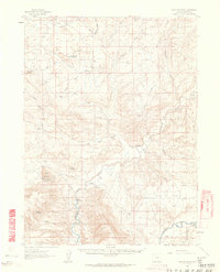
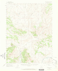
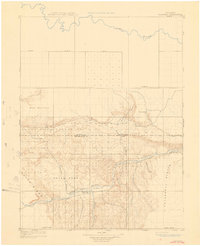
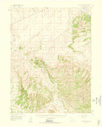
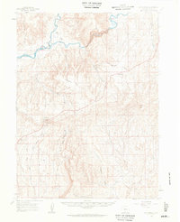
Other maps of this area

1907 · Rangely
USGS Topo · 1:125,000

1907 · White River
USGS Topo · 1:125,000

1910 · White River
USGS Topo · 1:125,000
1910 · Rangely
USGS Topo · 1:125,000

1954 · Vernal
USGS Topo · 1:250,000

1958 · Vernal
USGS Topo · 1:250,000
1958 · Maybell
USGS Topo · 1:62,500
1958 · Citadel Plateau
USGS Topo · 1:62,500

1960 · Vernal
USGS Topo · 1:250,000
1960 · Elk Springs
USGS Topo · 1:62,500