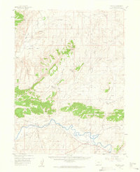
1958 Map of Maybell
USGS Topo · Published 1960About this map
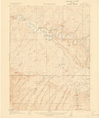
The Yampa River and the Little Snake River converge in this high-altitude landscape of northwestern Colorado, defining a territory of cattle ranching and early irrigation. The settlement of Maybell serves as the focal point, situated near the Maybell Ditch and the Boston Flat bottomlands. The map reveals the historic Thornburg Trail winding through the basin, a route named for the 1879 battle nearby, while the presence of the Fairview Cem and several isolated springs like Cutshaw Spring and Omstad Spring mark the scattered human footprint on this arid terrain.
Find a feature on this map
46 named features on this map. Tap any name to fly to it.
Don’t see what you’re looking for? This feature index may not catch every label — zoom into the map to look around manually.
Map Details
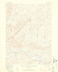
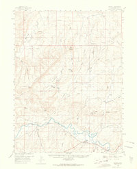
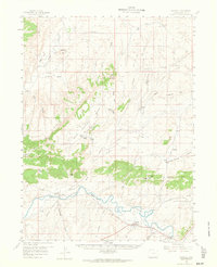
Editions of this 1958 Maybell Map
4 editions found
Other maps of this area

1907 · White River
USGS Topo · 1:125,000

1910 · Danforth Hills
USGS Topo · 1:125,000

1910 · White River
USGS Topo · 1:125,000

1912 · Axial
USGS Topo · 1:62,500
1914 · Axial
USGS Topo · 1:62,500

1916 · Craig
USGS Topo · 1:125,000

1954 · Vernal
USGS Topo · 1:250,000

1954 · Craig
USGS Topo · 1:250,000

1957 · Craig
USGS Topo · 1:250,000

1958 · Vernal
USGS Topo · 1:250,000