
1958 Map of Citadel Plateau
USGS Topo · Published 1960About this map
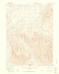
Citadel Plateau and the Danforth Hills dominate this high-desert landscape in Northwest Colorado as it appeared in the late 1950s. The map captures a transition between the elevated tablelands and the deeply carved gulches that feed into the Yampa River in the northeastern corner. This is a region defined by large-scale ranching and early energy exploration, evidenced by established homesteads like Sweeney Ranch, Shelton Ranch, and Keystone Ranch scattered throughout the draws.
Find a feature on this map
47 named features on this map. Tap any name to fly to it.
Don’t see what you’re looking for? This feature index may not catch every label — zoom into the map to look around manually.
Map Details
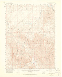
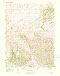
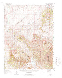
Editions of this 1958 Citadel Plateau Map
5 editions found
Other maps of this area

1907 · White River
USGS Topo · 1:125,000

1910 · Danforth Hills
USGS Topo · 1:125,000

1910 · White River
USGS Topo · 1:125,000

1912 · Meeker
USGS Topo · 1:62,500

1912 · Axial
USGS Topo · 1:62,500

1914 · Meeker
USGS Topo · 1:62,500

1914 · Axial
USGS Topo · 1:62,500

1916 · Craig
USGS Topo · 1:125,000

1954 · Vernal
USGS Topo · 1:250,000

1954 · Craig
USGS Topo · 1:250,000