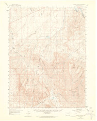
1958 Map of Citadel Plateau
USGS Topo · Published 1964About this map
The Yampa River carves through the northern reaches of this Colorado landscape, flowing past the entrance to Juniper Canyon and the notable heights of Juniper Mtn. This mid-century survey reveals a land defined by high plateaus and ranching, where the massive Citadel Plateau and the Danforth Hills dominate the topography. Local habitation is represented by established family holdings like Shelton Ranch, Sweeney Ranch, and Stone Ranch, which are situated along the drainage systems of Price Creek and Deception Creek. Evidence of early energy exploration is visible in the southeastern corner, where an Oil Field and various Oil Wells are located near Maudlin Gulch. The map illustrates a complex network of dry washes and gulches, including Wild Horse Ridge and Wolf Mountain, which provide critical context for the region's historical land use and water management via features like the Dry Lake Reservoir.
Find a feature on this map
44 named features on this map. Tap any name to fly to it.
Don’t see what you’re looking for? This feature index may not catch every label — zoom into the map to look around manually.
Map Details
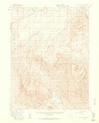
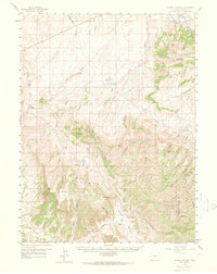
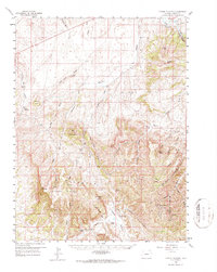
Editions of this 1958 Citadel Plateau Map
5 editions found

Other maps of this area

1907 · White River
USGS Topo · 1:125,000

1910 · Danforth Hills
USGS Topo · 1:125,000

1910 · White River
USGS Topo · 1:125,000

1912 · Meeker
USGS Topo · 1:62,500

1912 · Axial
USGS Topo · 1:62,500

1914 · Meeker
USGS Topo · 1:62,500

1914 · Axial
USGS Topo · 1:62,500

1916 · Craig
USGS Topo · 1:125,000

1954 · Vernal
USGS Topo · 1:250,000

1954 · Craig
USGS Topo · 1:250,000