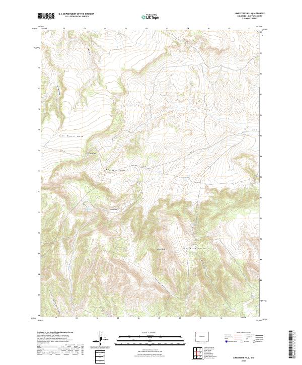
2022 Map of Limestone Hill
USGS Topo · Published 2022About this map
Douglas Mountain and the high plateaus of northwest Colorado define this landscape, where family names are etched into the terrain of John Weller Mesa and Bill Weller Mesa. This modern survey reveals a land structured by seasonal drainage and high-elevation relief, where Sager Draw and Weller Draw cut through the northern slopes while Sawmill Canyon descends the southern flanks of the massif. A single thoroughfare, Co RD 10, traverses the center of the sheet, providing access to Limestone Hill and the surrounding rangeland. The presence of Logging Spring and the sheltered basin of Happy Hollow suggest the historical importance of water and timber resources in this corner of Moffat County. For researchers, the map provides a clear view of the topographic features and traditional landmarks that have shaped ranching and land use in the region for generations.
Find a feature on this map
20 named features on this map. Tap any name to fly to it.
Don’t see what you’re looking for? This feature index may not catch every label — zoom into the map to look around manually.
Map Details
Editions of this 2022 Limestone Hill Map
This is the sole edition of this map. No revisions or reprints were ever made.
Other maps of this area

1907 · Rangely
USGS Topo · 1:125,000

1907 · White River
USGS Topo · 1:125,000

1910 · White River
USGS Topo · 1:125,000

1910 · Rangely
USGS Topo · 1:125,000

1954 · Vernal
USGS Topo · 1:250,000

1958 · Vernal
USGS Topo · 1:250,000

1960 · Vernal
USGS Topo · 1:250,000

1960 · Elk Springs
USGS Topo · 1:62,500

1960 · Lone Mountain
USGS Topo · 1:62,500

1962 · Indian Water Canyon
USGS Topo · 1:24,000