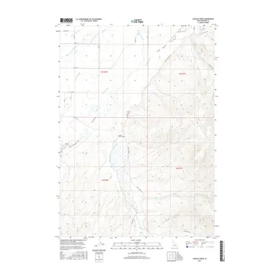
2017 Map of Lincoln Creek
USGS Topo · Published 2017About this map
Lincoln Creek Valley serves as the focal point of this Eastern Idaho landscape, where the flat agricultural plains of the Snake River basin meet rising topographic ridges. This 2017 survey reveals an intricate hydraulic network essential for high-desert farming, featuring the W Br Snake River Valley Canal, E Br Blackfoot Canal, and the Reservation Canal. The transition from the irrigated lowlands to the more varied terrain is marked by the presence of the Blackfoot River and its associated Blackfoot Slough. Local water management history is further evidenced by a dense system of smaller channels, including Hanson Ditch, Taylor Ditch, and the Little Indian Ditch. Farther east, the drainage of Cold Cr and Garden Cr cuts through the more pronounced relief, away from the established rural road network of Lincoln Creek Rd and Little Indian Rd.
Find a feature on this map
31 named features on this map. Tap any name to fly to it.
Don’t see what you’re looking for? This feature index may not catch every label — zoom into the map to look around manually.
Map Details
Editions of this 2017 Lincoln Creek Map
This is the sole edition of this map. No revisions or reprints were ever made.
Other maps of this area

1940 · Blackfoot
USGS Topo · 1:62,500

1943 · Blackfoot
USGS Topo · 1:62,500

1950 · Goshen
USGS Topo · 1:24,000

1951 · Higham Peak
USGS Topo · 1:24,000

1952 · Goshen
USGS Topo · 1:24,000

1955 · Lincoln Creek
USGS Topo · 1:24,000

1955 · Rose
USGS Topo · 1:24,000

1955 · Firth
USGS Topo · 1:24,000

1955 · Yandell Springs
USGS Topo · 1:62,500

1955 · Idaho Falls
USGS Topo · 1:250,000