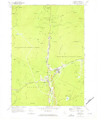
1967 Map of Lincoln
USGS Topo · Published 1972About this map
The Pemigewasset River corridor serves as the primary artery through this mountainous landscape, anchoring the settlements of Lincoln and North Woodstock. This mid-century survey documents a transition toward a recreation-based economy, evidenced by the development of the Kancamagus Highway and the Ski Area on the slopes of Loon Mtn. Within the protected boundaries of the White Mountain National Forest and Franconia Notch State Park, the map records numerous natural landmarks and early tourist sites including The Basin, The Pool, and The Flume. Cultural markers of the era include the Lincoln Airport, a Drive-in Theater, and the Lin-Wood High Sch. Rugged hiking infrastructure is well-defined by the Appalachian Trail and Franconia Ridge Trail, connecting peaks such as Mt Liberty and Mt Flume.
Find a feature on this map
81 named features on this map. Tap any name to fly to it.
Don’t see what you’re looking for? This feature index may not catch every label — zoom into the map to look around manually.
Map Details
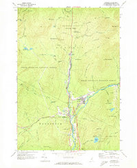
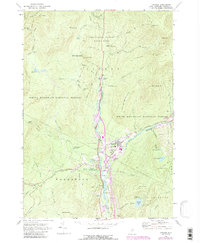
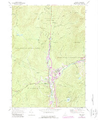
Editions of this 1967 Lincoln Map
4 editions found
Other maps of this area

1928 · Plymouth
USGS Topo · 1:62,500

1928 · Rumney
USGS Topo · 1:62,500

1929 · Moosilauke
USGS Topo · 1:62,500

1929 · Franconia
USGS Topo · 1:62,500

1931 · Plymouth
USGS Topo · 1:62,500

1932 · Franconia
USGS Topo · 1:62,500

1932 · Rumney
USGS Topo · 1:62,500

1932 · Moosilauke
USGS Topo · 1:62,500

1949 · Portland
USGS Topo · 1:250,000

1950 · Lewiston
USGS Topo · 1:250,000