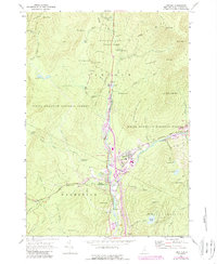
1967 Map of Lincoln
USGS Topo · Published 1989About this map
The East Branch Pemigewasset River serves as the focal point for this landscape, where the industrial presence of Lincoln meets the extensive wilderness of the White Mountain National Forest. This late-1960s perspective captures the area during a period of transition, showing the development of Interchange 32 and the Kancamagus Highway alongside long-established local landmarks. While the northern half of the map is dominated by the steep slopes of Franconia Notch State Park and features like The Basin and The Pool, the southern section reveals the community structure of North Woodstock and Fairview. Genealogists and local historians can find specific civic details, including the Lin-Wood High Sch, the Riverside Cem, and various trails such as the Appalachian Trail and Franconia Ridge Trail. The map also documents the recreation economy, labeling the Ski Area on Loon Mtn and the Russell Pond Recreation Area.
Find a feature on this map
86 named features on this map. Tap any name to fly to it.
Don’t see what you’re looking for? This feature index may not catch every label — zoom into the map to look around manually.
Map Details
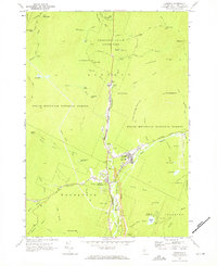
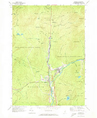
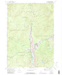
Editions of this 1967 Lincoln Map
4 editions found
Other maps of this area

1928 · Plymouth
USGS Topo · 1:62,500

1928 · Rumney
USGS Topo · 1:62,500

1929 · Moosilauke
USGS Topo · 1:62,500

1929 · Franconia
USGS Topo · 1:62,500

1931 · Plymouth
USGS Topo · 1:62,500

1932 · Franconia
USGS Topo · 1:62,500

1932 · Rumney
USGS Topo · 1:62,500

1932 · Moosilauke
USGS Topo · 1:62,500

1949 · Portland
USGS Topo · 1:250,000

1950 · Lewiston
USGS Topo · 1:250,000