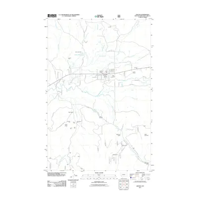
2011 Map of Lincoln
USGS Topo · Published 2011About this map
The Blackfoot River flows through the heart of the Lincoln community, marking a landscape defined by the intersection of forest management, recreation, and hard-rock mining history. While the town center contains essential services like the Lincoln Post Office and multiple fire stations, the surrounding terrain reveals a legacy of resource extraction concentrated in the southwest. A cluster of operations including the Snowbird Mine, Handy Mine, and Tip Top Mine sits near Bear Gulch, indicating the geological wealth of the area. Aviation and timber are represented by the Lincoln Airport and the Blackfoot Mill to the east. The map also documents early rural life through family-named landmarks like the Jacobson Ranch and the quiet presence of the Tuck Cemetery located north near Park Creek.
Find a feature on this map
74 named features on this map. Tap any name to fly to it.
Don’t see what you’re looking for? This feature index may not catch every label — zoom into the map to look around manually.
Map Details
Editions of this 2011 Lincoln Map
This is the sole edition of this map. No revisions or reprints were ever made.
Other maps of this area

1889 · Helena
USGS Topo · 1:250,000

1893 · Helena
USGS Topo · 1:250,000

1899 · Helena
USGS Topo · 1:250,000

1903 · Coopers Lake
USGS Topo · 1:125,000

1903 · Helena
USGS Topo · 1:250,000

1947 · Butte
USGS Topo · 1:250,000

1955 · Choteau
USGS Topo · 1:250,000

1957 · Choteau
USGS Topo · 1:250,000

1958 · Butte
USGS Topo · 1:250,000

1958 · Choteau
USGS Topo · 1:250,000