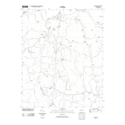
2010 Map of Lincoln
USGS Topo · Published 2010About this map
Elk River winds across the northern landscape near the settlement of Liberty, defining a terrain marked by numerous hollows and family-named landmarks. This Tennessee quadrangle is exceptionally detailed for genealogists, recording a high density of rural burial grounds such as Wells Hill Cemetery, Rowland Hill Cemetery, and the McDaniel Cemetery. The geography is shaped by water, from the natural cascades at Boone Falls to engineered impoundments like Circle H Ranch Lake and Rebecca Lake.
Find a feature on this map
130 named features on this map. Tap any name to fly to it.
Don’t see what you’re looking for? This feature index may not catch every label — zoom into the map to look around manually.
Map Details
Editions of this 2010 Lincoln Map
This is the sole edition of this map. No revisions or reprints were ever made.
Other maps of this area

1888 · Scottsboro
USGS Topo · 1:125,000

1888 · Huntsville
USGS Topo · 1:125,000

1892 · Huntsville
USGS Topo · 1:125,000

1892 · Scottsboro
USGS Topo · 1:125,000

1936 · Flintville
USGS Topo · 1:24,000

1936 · Taft
USGS Topo · 1:24,000

1936 · Fisk
USGS Topo · 1:24,000

1936 · Boonshill
USGS Topo · 1:24,000

1936 · Lincoln
USGS Topo · 1:24,000

1936 · Toney
USGS Topo · 1:24,000