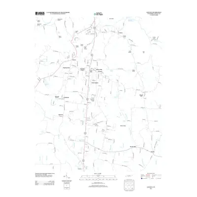
2013 Map of Lincoln
USGS Topo · Published 2013About this map
The Elk River winds through the northern portion of this landscape, its path defined by features like Henry Bend and Keith Spring. This 2013 survey of south-central Tennessee reveals a dense network of small communities and residential developments clustered around the highway corridors of U.S. Route 231 and 431. These named neighborhoods, including Park City, Rolling Hills, and Plada Heights, represent the modern residential expansion surrounding the Fayetteville Municipal Airport.
Find a feature on this map
197 named features on this map. Tap any name to fly to it.
Don’t see what you’re looking for? This feature index may not catch every label — zoom into the map to look around manually.
Map Details
Editions of this 2013 Lincoln Map
This is the sole edition of this map. No revisions or reprints were ever made.
Other maps of this area

1888 · Scottsboro
USGS Topo · 1:125,000

1888 · Huntsville
USGS Topo · 1:125,000

1892 · Huntsville
USGS Topo · 1:125,000

1892 · Scottsboro
USGS Topo · 1:125,000

1936 · Flintville
USGS Topo · 1:24,000

1936 · Taft
USGS Topo · 1:24,000

1936 · Fisk
USGS Topo · 1:24,000

1936 · Boonshill
USGS Topo · 1:24,000

1936 · Lincoln
USGS Topo · 1:24,000

1936 · Toney
USGS Topo · 1:24,000