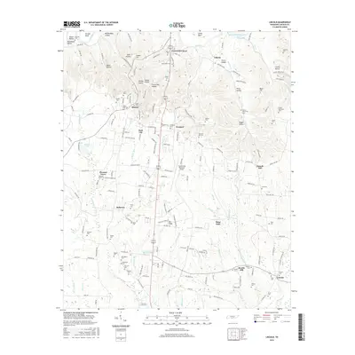
2016 Map of Lincoln
USGS Topo · Published 2016About this map
Fayetteville anchor the northern landscape where the Elk River curves through Morgan Bend and Henry Bend. The terrain is defined by a series of narrow valleys and named rises, including Pea Ridge, Locker Hill, and the descriptively named Bugger Hollow. A dense network of family-named cemeteries such as Boone Falls Cem, McDaniel Cem, and McGee-McCartney Cem suggests a long history of local settlement and genealogical depth across Lincoln County.
Find a feature on this map
186 named features on this map. Tap any name to fly to it.
Don’t see what you’re looking for? This feature index may not catch every label — zoom into the map to look around manually.
Map Details
Editions of this 2016 Lincoln Map
This is the sole edition of this map. No revisions or reprints were ever made.
Other maps of this area

1888 · Scottsboro
USGS Topo · 1:125,000

1888 · Huntsville
USGS Topo · 1:125,000

1892 · Huntsville
USGS Topo · 1:125,000

1892 · Scottsboro
USGS Topo · 1:125,000

1936 · Flintville
USGS Topo · 1:24,000

1936 · Taft
USGS Topo · 1:24,000

1936 · Fisk
USGS Topo · 1:24,000

1936 · Boonshill
USGS Topo · 1:24,000

1936 · Lincoln
USGS Topo · 1:24,000

1936 · Toney
USGS Topo · 1:24,000