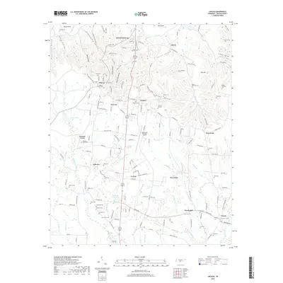
2019 Map of Lincoln
USGS Topo · Published 2019About this map
Fayetteville and its surrounding rural communities are anchored by the winding course of the Elk River in this detailed topographic survey. The landscape is a complex network of hollows and ridges, including Steam Mill Hollow and Bugger Hollow, which have historically dictated the placement of roads and farmsteads. Near the center, Prospect and Park City sit at a significant crossroads, while the Fayetteville Municipal Airport marks the shift toward modern infrastructure. Local history is deeply embedded in the dozens of family-named burial grounds like the McGee-McCartney Cem and Corder-McCullock Cem. Water remains a central theme, from the landmark Boone Falls to the working legacy of Rozells Mill in the southeastern corner near the community of Lincoln. Smaller settlements such as Skinem and Pea Ridge offer a look at the dispersed residential patterns of the Tennessee borderlands.
Find a feature on this map
169 named features on this map. Tap any name to fly to it.
Don’t see what you’re looking for? This feature index may not catch every label — zoom into the map to look around manually.
Map Details
Editions of this 2019 Lincoln Map
This is the sole edition of this map. No revisions or reprints were ever made.
Other maps of this area

1888 · Scottsboro
USGS Topo · 1:125,000

1888 · Huntsville
USGS Topo · 1:125,000

1892 · Huntsville
USGS Topo · 1:125,000

1892 · Scottsboro
USGS Topo · 1:125,000

1936 · Flintville
USGS Topo · 1:24,000

1936 · Taft
USGS Topo · 1:24,000

1936 · Fisk
USGS Topo · 1:24,000

1936 · Boonshill
USGS Topo · 1:24,000

1936 · Lincoln
USGS Topo · 1:24,000

1936 · Toney
USGS Topo · 1:24,000