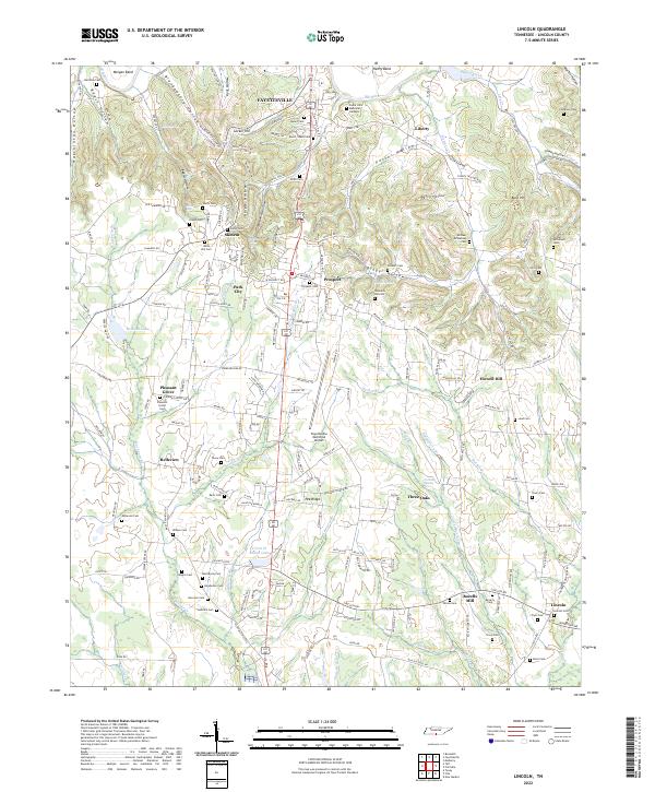
2022 Map of Lincoln
USGS Topo · Published 2022About this map
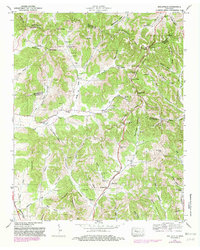
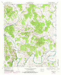
The Elk River winds through the northern reaches of this Lincoln County landscape, defining the geography near Fayetteville. To the south, the terrain transitions into a complex of ridges and hollows, including Pea Ridge and Bugger Hollow, where small settlements like Skinem, Prospect, and Three Oaks are situated along a network of country roads. The map reveals a dense concentration of family and community burial grounds, such as the McGee-McCartney Cem, Macedonia Cem, and Lincoln Cem, which serve as vital markers for genealogical research in this part of Tennessee.
Find a feature on this map
141 named features on this map. Tap any name to fly to it.
Don’t see what you’re looking for? This feature index may not catch every label — zoom into the map to look around manually.
Map Details
Editions of this 2022 Lincoln Map
This is the sole edition of this map. No revisions or reprints were ever made.
Historical Maps of Park City Heights Through Time
15 maps found

1936 Belleville
Lincoln County, TN
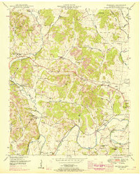
1936 Boonshill
Lincoln County, TN

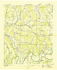
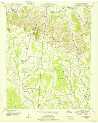
1936 Lincoln
Lincoln County, TN
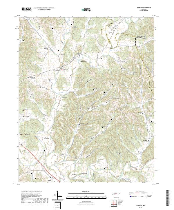
1936 Mulberry
Lincoln County, TN
1947 Mulberry
Lincoln County, TN
1949 Belleville
Lincoln County, TN
1949 Boonshill
Lincoln County, TN
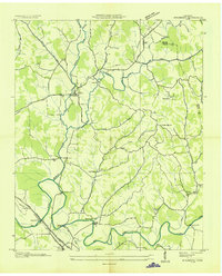
1949 Lincoln
Lincoln County, TN
1951 Belleville
Lincoln County, TN
1951 Boonshill
Lincoln County, TN
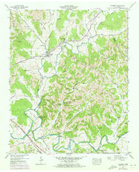
1951 Lincoln
Lincoln County, TN
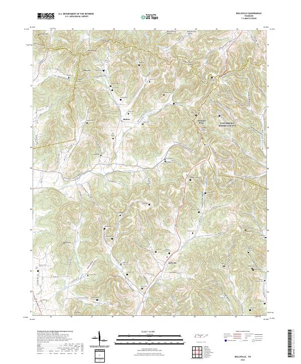
2022 Belleville
Lincoln County, TN
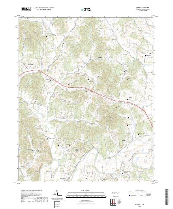
2022 Boonshill
Lincoln County, TN
2022 Lincoln
Lincoln County, TN
2022 Mulberry
Lincoln County, TN
Featured Locations
- Highland Rim, TN
- Highland Rim Falls Subdivision, TN
- Hilldale Estates, TN
- Fayetteville, TN
- Greenwood Estates, TN