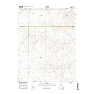
2016 Map of Lincoln NW
USGS Topo · Published 2016About this map
Prairie Grove Cem stands as a focal point for local history in this rural portion of north-central Kansas, where the borders of Mitchell Co and Lincoln Co meet. The landscape is defined by the winding paths of several watercourses, including the westward-flowing Battle Creek and the southern reaches of Rattlesnake Creek. This 2016 survey illustrates a strictly organized grid of rural roads, such as Ash Grove Rd and E Union Dr, which provide access to the vast agricultural sections and scattered homesteads. These drainage systems, including Little Timber Creek and Rock Creek, have long dictated the placement of farms and cemeteries across the townships of t10s r8w and t9s r7w. The map preserves the exact alignment of section lines and gravel routes used by generations of farming families in the region.
Find a feature on this map
32 named features on this map. Tap any name to fly to it.
Don’t see what you’re looking for? This feature index may not catch every label — zoom into the map to look around manually.
Map Details
Editions of this 2016 Lincoln NW Map
This is the sole edition of this map. No revisions or reprints were ever made.
Other maps of this area

1894 · Beloit
USGS Topo · 1:125,000

1955 · Beloit
USGS Topo · 1:250,000

1959 · Beloit
USGS Topo · 1:250,000

1962 · Vesper
USGS Topo · 1:24,000

1962 · Lincoln
USGS Topo · 1:24,000
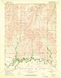
1963 · Shady Bend
USGS Topo · 1:24,000
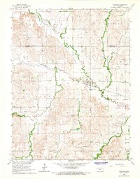
1964 · Barnard
USGS Topo · 1:24,000
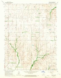
1964 · Beloit SE
USGS Topo · 1:24,000

1968 · Beloit SW
USGS Topo · 1:24,000

1968 · Lincoln NW
USGS Topo · 1:24,000