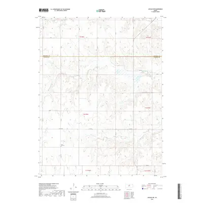
2018 Map of Lincoln NW
USGS Topo · Published 2018About this map
Prairie Grove Cem serves as a central landmark in this rural landscape at the border of Mitchell and Lincoln counties. The terrain is defined by a dense network of seasonal and perennial drainage systems, including the winding course of Rattlesnake Cr and the branching reaches of Battle Cr. These waterways dictate the local geography, carving through the plains and influencing the placement of early section-line roads such as Ash Grove Rd and E Union Dr. This 2018 survey reveals a territory characterized by its agricultural grid and dispersed water sources like Rock Cr and Salt Cr. The map's layout highlights the transition between townships, showing the intersection of local routes like Sage Dr and Vine Dr within the traditional rural township and range survey system.
Find a feature on this map
21 named features on this map. Tap any name to fly to it.
Don’t see what you’re looking for? This feature index may not catch every label — zoom into the map to look around manually.
Map Details
Editions of this 2018 Lincoln NW Map
This is the sole edition of this map. No revisions or reprints were ever made.
Other maps of this area

1894 · Beloit
USGS Topo · 1:125,000

1955 · Beloit
USGS Topo · 1:250,000

1959 · Beloit
USGS Topo · 1:250,000

1962 · Vesper
USGS Topo · 1:24,000

1962 · Lincoln
USGS Topo · 1:24,000
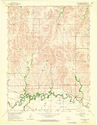
1963 · Shady Bend
USGS Topo · 1:24,000
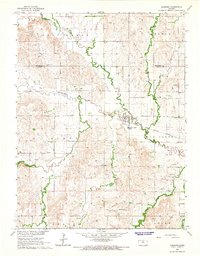
1964 · Barnard
USGS Topo · 1:24,000
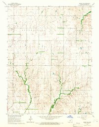
1964 · Beloit SE
USGS Topo · 1:24,000

1968 · Beloit SW
USGS Topo · 1:24,000

1968 · Lincoln NW
USGS Topo · 1:24,000