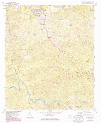
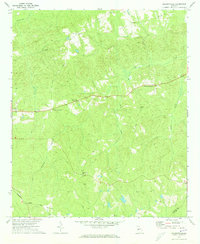
1971 Map of Lincoln Park
USGS Topo · Published 1986About this map
Thomaston and the community of Lincoln Park serve as the primary hubs in this Georgia landscape, surveyed in the early 1970s with later updates. The terrain is defined by a dense network of tributaries including Potato Creek and Town Creek, which flow toward the Flint River marking the southwestern boundary between Upson and Talbot counties. Significant local landmarks such as the Vocational Sch and the Radio Tower (WSFT) reflect the mid-century infrastructure of the area, while the rural outskirts are punctuated by a series of crossroads and places of worship.
Find a feature on this map
62 named features on this map. Tap any name to fly to it.
Don’t see what you’re looking for? This feature index may not catch every label — zoom into the map to look around manually.
Map Details
Editions of this 1971 Lincoln Park Map
2 editions found
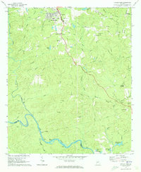
Other maps of this area

1935 · Thomaston
USGS Topo · 1:48,000

1939 · Thomaston
USGS Topo · 1:62,500

1951 · Yatesville
USGS Topo · 1:62,500

1955 · Phenix City
USGS Topo · 1:250,000

1957 · Phenix City
USGS Topo · 1:250,000

1958 · Phenix City
USGS Topo · 1:250,000
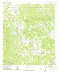
1971 · Sunset Village
USGS Topo · 1:24,000
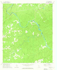
1971 · Roland
USGS Topo · 1:24,000

1971 · Prattsburg
USGS Topo · 1:24,000
1971 · Baldwinville
USGS Topo · 1:24,000