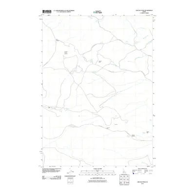
2010 Map of Lincoln Peak
USGS Topo · Published 2010About this map
Gay Mine and the Westvaco Mine define the industrial footprint of this portion of Bannock County, where phosphate mining operations have shaped the landscape. The geography is characterized by a network of drainage systems and springs, such as Lincoln Peak Spring and Bronco Spring, which feed into the Portneuf River and Lincoln Creek. The presence of the Gay settlement near the mines suggests a direct connection between local habitation and the mineral extraction industry that has historically dominated this region.
Find a feature on this map
27 named features on this map. Tap any name to fly to it.
Don’t see what you’re looking for? This feature index may not catch every label — zoom into the map to look around manually.
Map Details
Editions of this 2010 Lincoln Peak Map
This is the sole edition of this map. No revisions or reprints were ever made.
Other maps of this area

1917 · Portneuf
USGS Topo · 1:62,500

1918 · Paradise Valley
USGS Topo · 1:62,500

1951 · Higham Peak
USGS Topo · 1:24,000

1954 · Pocatello
USGS Topo · 1:250,000

1955 · Lincoln Creek
USGS Topo · 1:24,000

1955 · Yandell Springs
USGS Topo · 1:62,500

1955 · Idaho Falls
USGS Topo · 1:250,000

1955 · Driggs
USGS Topo · 1:250,000

1955 · Preston
USGS Topo · 1:250,000

1958 · Driggs
USGS Topo · 1:250,000