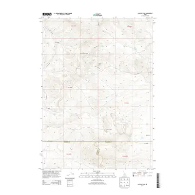
2013 Map of Lincoln Peak
USGS Topo · Published 2013About this map
Lincoln Peak stands as the central landmark in this high-elevation corner of Idaho, where the borders of Bannock, Bingham, and Caribou counties converge. The landscape is defined by a complex network of seasonal water sources and named springs, including Bronco Spring, Big Willow Spring, and Queedup Spring, which have long served as vital water points in this arid terrain. The settlement of Gay occupies the western edge of the quadrangle, situated near the head of Dry Hollow.
Find a feature on this map
35 named features on this map. Tap any name to fly to it.
Don’t see what you’re looking for? This feature index may not catch every label — zoom into the map to look around manually.
Map Details
Editions of this 2013 Lincoln Peak Map
This is the sole edition of this map. No revisions or reprints were ever made.
Other maps of this area

1917 · Portneuf
USGS Topo · 1:62,500

1918 · Paradise Valley
USGS Topo · 1:62,500

1951 · Higham Peak
USGS Topo · 1:24,000

1954 · Pocatello
USGS Topo · 1:250,000

1955 · Lincoln Creek
USGS Topo · 1:24,000

1955 · Yandell Springs
USGS Topo · 1:62,500

1955 · Idaho Falls
USGS Topo · 1:250,000

1955 · Driggs
USGS Topo · 1:250,000

1955 · Preston
USGS Topo · 1:250,000

1958 · Driggs
USGS Topo · 1:250,000