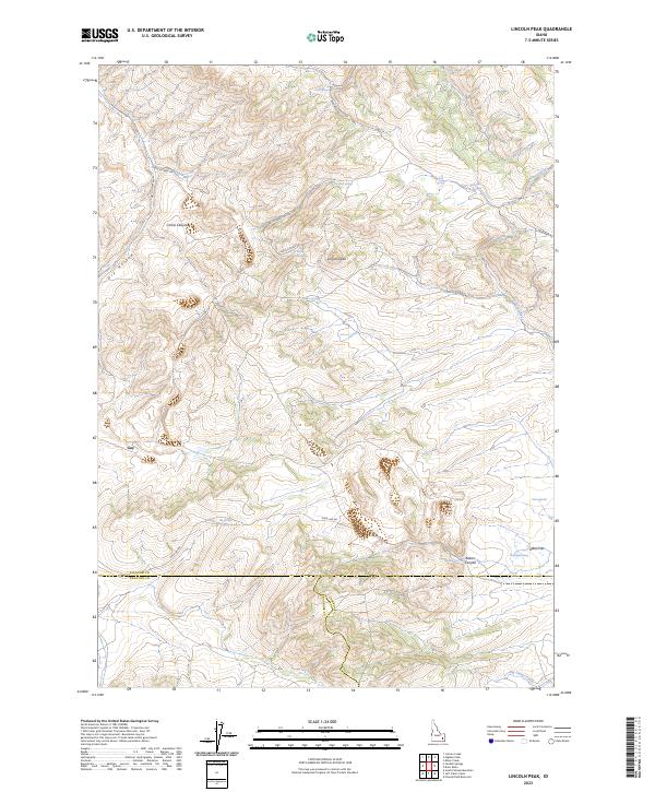
2023 Map of Lincoln Peak
USGS Topo · Published 2023About this map
Lincoln Peak stands as the central landmark in this high-desert landscape, where the headwaters of the Portneuf River and Red Rock Creek carve through the Idaho terrain. The area is defined by a sparse network of service roads and spring-fed drainages, notably at Cold Spring and Lincoln Peak Spring. A distinct boundary line marks the intersection of Bingham, Bannock, and Caribou counties, cutting across the southern portion of the map near Bakers Canyon. This modern survey reveals a landscape largely shaped by topography and water access, with features like Alkali Flat and Gay suggesting the localized natural and human history of the region. The map also traces various essential transit paths such as Pole Line Rd and Lincoln Creek Rd, which provide access to the remote canyons and hollows.
Find a feature on this map
31 named features on this map. Tap any name to fly to it.
Don’t see what you’re looking for? This feature index may not catch every label — zoom into the map to look around manually.
Map Details
Editions of this 2023 Lincoln Peak Map
This is the sole edition of this map. No revisions or reprints were ever made.
Other maps of this area

1917 · Portneuf
USGS Topo · 1:62,500

1918 · Paradise Valley
USGS Topo · 1:62,500

1951 · Higham Peak
USGS Topo · 1:24,000

1954 · Pocatello
USGS Topo · 1:250,000

1955 · Lincoln Creek
USGS Topo · 1:24,000

1955 · Yandell Springs
USGS Topo · 1:62,500

1955 · Idaho Falls
USGS Topo · 1:250,000

1955 · Driggs
USGS Topo · 1:250,000

1955 · Preston
USGS Topo · 1:250,000

1958 · Driggs
USGS Topo · 1:250,000