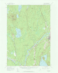
1957 Map of Lincoln
USGS Topo · Published 1963About this map
The Penobscot River serves as the central artery for this portion of Maine, where the industrial and transport infrastructure of Lincoln and Howland anchors the local economy. At this time, the Maine Central and Canadian Pacific railroads facilitate the movement of timber and goods through the river valley, connecting settlements like Enfield Station and South Lincoln. A note in the margin clarifies that all islands in the river are part of the Penobscot Indian Reservation, including Mattanawcook Island and Mahockanock Island. To the west, the landscape shifts toward the dense woods and waters of Mattamiscontis Lake and Little Mattamiscontis Lake, where the Mattamiscontis Club Camp suggests a tradition of seasonal recreation. The map also records localized landmarks such as the Fairfield Sch in Chester and Morgan Beach on the shores of Cold Stream Pond, providing a detailed look at mid-century community life.
Find a feature on this map
123 named features on this map. Tap any name to fly to it.
Don’t see what you’re looking for? This feature index may not catch every label — zoom into the map to look around manually.
Map Details
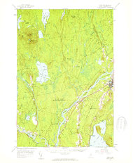
Editions of this 1957 Lincoln Map
3 editions found

Other maps of this area

1917 · Passadumkeag
USGS Topo · 1:62,500

1920 · Winn
USGS Topo · 1:62,500

1931 · Saponac
USGS Topo · 1:48,000

1933 · Boyd Lake
USGS Topo · 1:62,500

1934 · Saponac
USGS Topo · 1:62,500

1940 · Mattawamkeag
USGS Topo · 1:62,500

1942 · Lincoln
USGS Topo · 1:62,500

1942 · Mattawamkeag
USGS Topo · 1:62,500

1947 · Schoodic
USGS Topo · 1:62,500

1949 · Schoodic
USGS Topo · 1:62,500