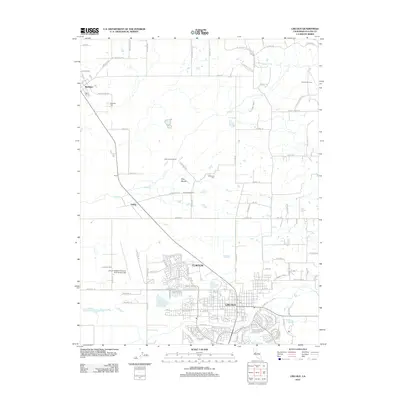
2012 Map of Lincoln
USGS Topo · Published 2012About this map
The city of Lincoln serves as the focal point of this Placer County survey, illustrating the community's expansion into the surrounding agricultural landscape. The map details a mix of established residential blocks and developing areas like Clayton, framed by the vital waters of Ingram Slough and the Lincoln Canal. North of the main settlement, the land remains dominated by larger holdings and agricultural markers such as Chamberlain Ranch and Sunnybrook Farm.
Find a feature on this map
103 named features on this map. Tap any name to fly to it.
Don’t see what you’re looking for? This feature index may not catch every label — zoom into the map to look around manually.
Map Details
Editions of this 2012 Lincoln Map
This is the sole edition of this map. No revisions or reprints were ever made.
Other maps of this area

1888 · Smartsville
USGS Topo · 1:125,000

1891 · Sacramento
USGS Topo · 1:125,000

1891 · Smartsville
USGS Topo · 1:125,000

1892 · Sacramento
USGS Topo · 1:125,000

1892 · Smartsville
USGS Topo · 1:125,000

1893 · Sacramento
USGS Topo · 1:125,000

1894 · Smartsville
USGS Topo · 1:125,000

1895 · Smartsville
USGS Topo · 1:125,000

1910 · Sheridan
USGS Topo · 1:31,680

1910 · Lincoln
USGS Topo · 1:31,680