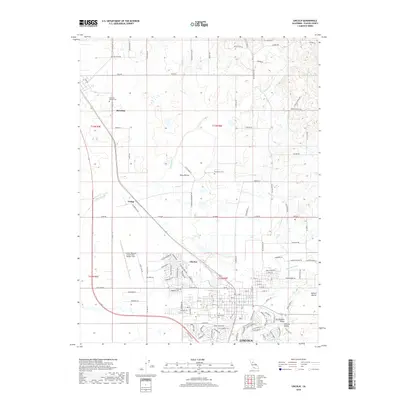
2018 Map of Lincoln
USGS Topo · Published 2018About this map
The city of Lincoln anchors this 2018 survey, reflecting its role as a growing center in the Sacramento Valley. The map detail captures a landscape transitioning from the agricultural expanses of the Central Valley to organized residential development. Infrastructure such as the Lincoln Regional Airport/Karl Harder Field and the Lincoln Canal highlight the managed resources required for this region's modern expansion.
Find a feature on this map
59 named features on this map. Tap any name to fly to it.
Don’t see what you’re looking for? This feature index may not catch every label — zoom into the map to look around manually.
Map Details
Editions of this 2018 Lincoln Map
This is the sole edition of this map. No revisions or reprints were ever made.
Other maps of this area

1888 · Smartsville
USGS Topo · 1:125,000

1891 · Sacramento
USGS Topo · 1:125,000

1891 · Smartsville
USGS Topo · 1:125,000

1892 · Sacramento
USGS Topo · 1:125,000

1892 · Smartsville
USGS Topo · 1:125,000

1893 · Sacramento
USGS Topo · 1:125,000

1894 · Smartsville
USGS Topo · 1:125,000

1895 · Smartsville
USGS Topo · 1:125,000

1910 · Sheridan
USGS Topo · 1:31,680

1910 · Lincoln
USGS Topo · 1:31,680