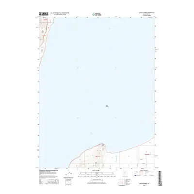
2014 Map of Lincoln Point
USGS Topo · Published 2014About this map
Utah Lake dominates this quadrangle, its waters defining the western shoreline of Utah County. Along the southern shore, Lincoln Point projects into the lake, marking a transition from the water to the rising elevations of West Mtn. This topographical feature is flanked by the marshy outlet of Benjamin Slough, which drains into the lake's southern end. On the western margin, a narrow strip of land is carved into Little Cove and Big Cove, providing a focused view of the lake's edge where Ut-68 and Redwood Rd follow the contours of the shoreline. The inclusion of Bird Island within the expanse of the lake highlights the varied aquatic landscape. The road network, including Lincoln Beach Rd and several surveyed section roads such as W 5200 S, suggests the agricultural and residential boundaries established on the firm ground surrounding the water.
Find a feature on this map
18 named features on this map. Tap any name to fly to it.
Don’t see what you’re looking for? This feature index may not catch every label — zoom into the map to look around manually.
Map Details
Editions of this 2014 Lincoln Point Map
This is the sole edition of this map. No revisions or reprints were ever made.
Other maps of this area

1885 · Salt Lake
USGS Topo · 1:250,000

1948 · Spanish Fork
USGS Topo · 1:24,000

1948 · Orem
USGS Topo · 1:24,000

1948 · Orem
USGS Topo · 1:62,500

1948 · Provo
USGS Topo · 1:24,000

1949 · Provo
USGS Topo · 1:62,500

1950 · Orem
USGS Topo · 1:24,000

1950 · Provo
USGS Topo · 1:24,000

1950 · Spanish Fork
USGS Topo · 1:24,000

1950 · West Mountain
USGS Topo · 1:24,000