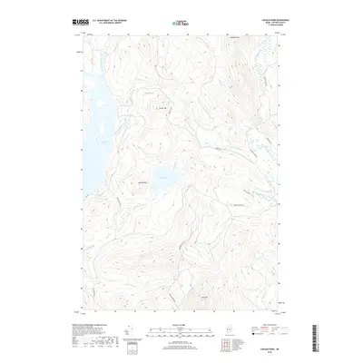
2018 Map of Lincoln Pond
USGS Topo · Published 2018About this map
Aziscohos Lake and the Magalloway River dominate this western Maine landscape, where the terrain is defined by prominent peaks like Cupsuptic Mtn and Big Buck Mtn. The 2018 survey illustrates a complex network of logging and access routes, including the Cupsuptic Tote Rd and Lincoln Pond Rd, which connect the interior highlands to the water bodies.
Find a feature on this map
27 named features on this map. Tap any name to fly to it.
Don’t see what you’re looking for? This feature index may not catch every label — zoom into the map to look around manually.
Map Details
Editions of this 2018 Lincoln Pond Map
This is the sole edition of this map. No revisions or reprints were ever made.
Other maps of this area
1927 · Second Lake
USGS Topo · 1:62,500
1930 · Errol
USGS Topo · 1:62,500
1931 · Cupsuptic
USGS Topo · 1:48,000
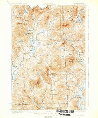
1932 · Second Lake
USGS Topo · 1:62,500
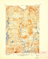
1934 · Cupsuptic
USGS Topo · 1:62,500
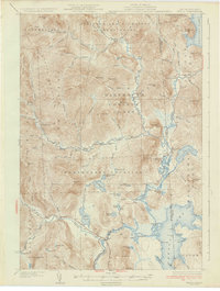
1934 · Errol
USGS Topo · 1:62,500
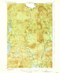
1935 · Cupsuptic
USGS Topo · 1:62,500
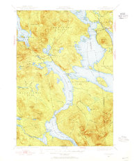
1940 · Oquossoc
USGS Topo · 1:62,500
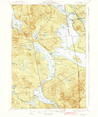
1942 · Oquossoc
USGS Topo · 1:62,500
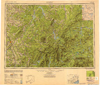
1949 · Jackman
USGS Topo · 1:250,000
Featured Places
- Lincoln Plantation, ME
- Adamstown Township, ME
- Lynchtown Township, ME
- Upper Cupsuptic Township, ME
- Parkertown Township, ME