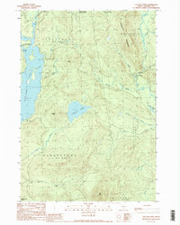
1990 Map of Lincoln Pond
USGS Topo · Published 1990About this map
Lincoln Pond lies at the center of this remote Oxford County landscape, surrounded by the township divisions of Lynchtown, Upper Cupsuptic, and Parkertown. The western edge is defined by the expansive waters of Aziscohos Lake, where the Magalloway River and Little Magalloway River meet the shoreline near Bosebuck Camp. This 1990 provisional survey records a region defined by its hydrology and timber management, evidenced by the network of unimproved roads and several gravel pits.
Find a feature on this map
32 named features on this map. Tap any name to fly to it.
Don’t see what you’re looking for? This feature index may not catch every label — zoom into the map to look around manually.
Map Details
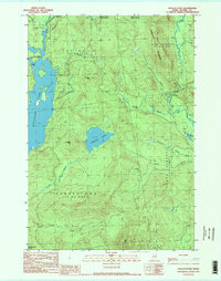
Editions of this 1990 Lincoln Pond Map
2 editions found
Other maps of this area

1927 · Second Lake
USGS Topo · 1:62,500

1930 · Errol
USGS Topo · 1:62,500

1931 · Cupsuptic
USGS Topo · 1:48,000

1932 · Second Lake
USGS Topo · 1:62,500

1934 · Cupsuptic
USGS Topo · 1:62,500

1934 · Errol
USGS Topo · 1:62,500

1935 · Cupsuptic
USGS Topo · 1:62,500

1940 · Oquossoc
USGS Topo · 1:62,500

1942 · Oquossoc
USGS Topo · 1:62,500

1949 · Jackman
USGS Topo · 1:250,000
Featured Places
- Lincoln Plantation, ME
- Adamstown Township, ME
- Lynchtown Township, ME
- Parkertown Township, ME
- Lower Cupsuptic Township, ME