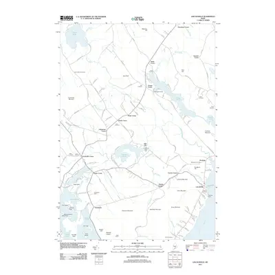
2011 Map of Lincolnville
USGS Topo · Published 2011About this map
Lincolnville and Lincolnville Center anchor this Waldo County landscape where the coastal edge of Penobscot Bay meets the interior ponds and rising hills. The map highlights a network of community corners, including Drake Corner, Carvers Corner, and Grange Corner, illustrating the early 21st-century settlement patterns of coastal Maine. Genealogists can locate numerous burying grounds such as South Belmont Cemetery, Hills Cemetery, and the Beach Cemetery near the shoreline.
Find a feature on this map
129 named features on this map. Tap any name to fly to it.
Don’t see what you’re looking for? This feature index may not catch every label — zoom into the map to look around manually.
Map Details
Editions of this 2011 Lincolnville Map
This is the sole edition of this map. No revisions or reprints were ever made.
Other maps of this area

1902 · Castine
USGS Topo · 1:62,500

1904 · Castine
USGS Topo · 1:62,500
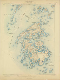
1904 · Vinalhaven
USGS Topo · 1:62,500
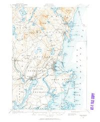
1904 · Rockland
USGS Topo · 1:62,500

1905 · Penobscot Bay
USGS Topo · 1:125,000
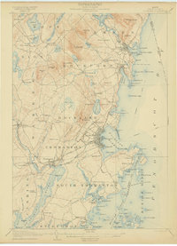
1906 · Rockland
USGS Topo · 1:62,500
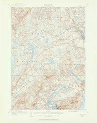
1915 · Belfast
USGS Topo · 1:62,500
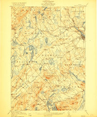
1917 · Belfast
USGS Topo · 1:62,500
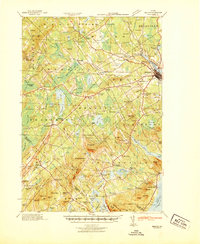
1941 · Belfast
USGS Topo · 1:62,500
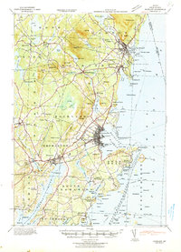
1941 · Rockland
USGS Topo · 1:62,500