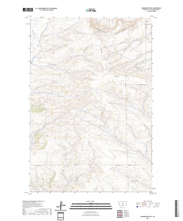
2024 Map of Lindemulder Hill
USGS Topo · Published 2024About this map
Lindemulder Hill and the surrounding high country of Stillwater County define this part of Montana, where the terrain transitions across the significant geographical marker known as The Divide. The landscape is a network of drainages and named peaks, including Busteed Hill and Pershing Hill, which overlook a system of seasonal and perennial waters. Many of these, such as McNally Creek and East White Beaver Creek, flow through township lines that delineate the rural land divisions of T1N and T2N.
Find a feature on this map
26 named features on this map. Tap any name to fly to it.
Don’t see what you’re looking for? This feature index may not catch every label — zoom into the map to look around manually.
Map Details
Editions of this 2024 Lindemulder Hill Map
This is the sole edition of this map. No revisions or reprints were ever made.
Other maps of this area

1892 · Stillwater
USGS Topo · 1:125,000

1954 · Billings
USGS Topo · 1:250,000

1955 · Antelope Point
USGS Topo · 1:24,000

1955 · Springtime
USGS Topo · 1:24,000

1955 · Russell Gulch
USGS Topo · 1:24,000

1956 · Columbus West
USGS Topo · 1:24,000

1956 · Rapelje
USGS Topo · 1:24,000

1956 · Battle Butte
USGS Topo · 1:24,000

1956 · Columbus East
USGS Topo · 1:24,000

1956 · Lindemulder Hill
USGS Topo · 1:24,000