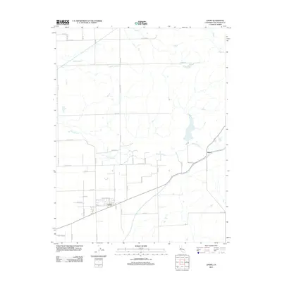
2012 Map of Linden
USGS Topo · Published 2012About this map
Linden and Bellota anchor this agricultural region of San Joaquin County, where the valley floor is defined by a complex network of waterways. The Calaveras River winds through the central landscape, while the Mormon Slough cuts a straight path to the southwest, indicating the managed water systems critical to this farming district. In the north, seasonal drainage is marked by Paddy Cr, Middle Paddy Cr, and Duck Cr, creating a distinct riparian pattern against the rectilinear grid of local transport.
Find a feature on this map
45 named features on this map. Tap any name to fly to it.
Don’t see what you’re looking for? This feature index may not catch every label — zoom into the map to look around manually.
Map Details
Editions of this 2012 Linden Map
This is the sole edition of this map. No revisions or reprints were ever made.
Other maps of this area

1889 · Jackson
USGS Topo · 1:125,000

1892 · Jackson
USGS Topo · 1:125,000

1894 · Lodi
USGS Topo · 1:125,000

1897 · Jackson
USGS Topo · 1:125,000

1902 · Jackson
USGS Topo · 1:125,000

1908 · Waterloo
USGS Topo · 1:31,680

1908 · Linden
USGS Topo · 1:31,680

1908 · Lockeford
USGS Topo · 1:31,680

1909 · Clements
USGS Topo · 1:31,680

1914 · Burnham
USGS Topo · 1:31,680