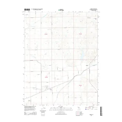
2015 Map of Linden
USGS Topo · Published 2015About this map
The agricultural heart of the San Joaquin Valley is revealed in this detail of the Central Valley east of Stockton. The settlement of Linden serves as a primary hub for the surrounding orchards and fields, with its street grid including E Main St and Grace St clearly delineated. To the northeast, the smaller community of Bellota sits near the banks of the Calaveras River, which winds through the landscape alongside drainage features like Mormon Slough and Mosher Cr.
Find a feature on this map
48 named features on this map. Tap any name to fly to it.
Don’t see what you’re looking for? This feature index may not catch every label — zoom into the map to look around manually.
Map Details
Editions of this 2015 Linden Map
This is the sole edition of this map. No revisions or reprints were ever made.
Other maps of this area

1889 · Jackson
USGS Topo · 1:125,000

1892 · Jackson
USGS Topo · 1:125,000

1894 · Lodi
USGS Topo · 1:125,000

1897 · Jackson
USGS Topo · 1:125,000

1902 · Jackson
USGS Topo · 1:125,000

1908 · Waterloo
USGS Topo · 1:31,680

1908 · Linden
USGS Topo · 1:31,680

1908 · Lockeford
USGS Topo · 1:31,680

1909 · Clements
USGS Topo · 1:31,680

1914 · Burnham
USGS Topo · 1:31,680