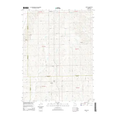
2014 Map of Lindley
USGS Topo · Published 2014About this map
Humphreys and Lindley anchor the northern reaches of this rural landscape where the borders of Grundy, Sullivan, and Linn counties converge. The terrain is defined by the winding paths of Medicine Creek, Muddy Cr, and Little Muddy Cr, which carve through the farmland. This area is characterized by small, dispersed settlements like Parsons and Haseville, connected by a grid of rural roads such as Tuscon Rd and Vale Rd. Genealogists will find significant value in the distribution of family and community burial grounds, including Lindley Cemetery, Mount Zion Cemetery, and Smith Cemetery, which are preserved alongside local landmarks like Baker Lake and Strong and Stewart Lake.
Find a feature on this map
58 named features on this map. Tap any name to fly to it.
Don’t see what you’re looking for? This feature index may not catch every label — zoom into the map to look around manually.
Map Details
Editions of this 2014 Lindley Map
This is the sole edition of this map. No revisions or reprints were ever made.
Other maps of this area

1924 · Chula
USGS Topo · 1:62,500

1946 · Brookfield
USGS Topo · 1:62,500

1946 · Galt
USGS Topo · 1:62,500

1947 · Chula
USGS Topo · 1:62,500

1948 · Brookfield
USGS Topo · 1:62,500

1949 · Galt
USGS Topo · 1:62,500

1953 · Moberly
USGS Topo · 1:250,000

1954 · Centerville
USGS Topo · 1:250,000

1954 · Moberly
USGS Topo · 1:250,000

1957 · Moberly
USGS Topo · 1:250,000