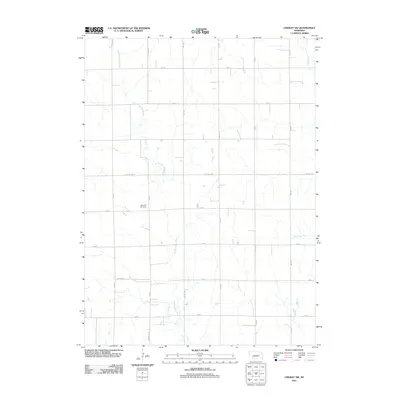
2011 Map of Lindsay SW
USGS Topo · Published 2011About this map
Looking Glass Creek meanders through this agricultural landscape in Platte County, following a winding path that cuts across the section lines of the rural grid. The terrain is defined by a dense network of local routes, including Lindsay Hwy and Central Hwy, which facilitate travel between scattered farmsteads. Near the junction of 460 Ave and 325 St, West Hill Cemetery serves as a significant genealogical landmark for the surrounding community. In the eastern portion of the quadrangle, Lost Creek and Shell Creek drain the open fields, illustrating the hydraulic character of this corner of Nebraska. The regularity of the roads, such as Co Line Rd and W Pawnee Ave, reflects a long-established township-and-range surveying system that has governed the spatial organization of these prairie lands since the nineteenth century.
Find a feature on this map
20 named features on this map. Tap any name to fly to it.
Don’t see what you’re looking for? This feature index may not catch every label — zoom into the map to look around manually.
Map Details
Editions of this 2011 Lindsay SW Map
This is the sole edition of this map. No revisions or reprints were ever made.
Other maps of this area

1896 · Stromsburg
USGS Topo · 1:125,000

1955 · Fremont
USGS Topo · 1:250,000

1957 · Fremont
USGS Topo · 1:250,000

1958 · Fremont
USGS Topo · 1:250,000

1958 · Genoa
USGS Topo · 1:24,000

1958 · Monroe
USGS Topo · 1:24,000

1958 · Fullerton NE
USGS Topo · 1:24,000

1958 · St. Edward
USGS Topo · 1:24,000
1966 · Newman Grove
USGS Topo · 1:24,000

1966 · Tarnov
USGS Topo · 1:24,000