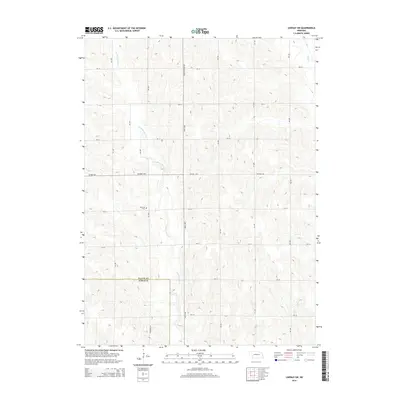
2014 Map of Lindsay SW
USGS Topo · Published 2014About this map
Looking Glass Creek meanders through this agricultural landscape on the border of Platte and Nance counties. The terrain is defined by a dense network of sectional roads and rural corridors such as Lindsay-Genoa Rd and Central Hwy. In the western portion of the quadrangle, West Hill Cem stands as a significant landmark for genealogical research, situated on a rise overlooking the surrounding farmland. The drainage patterns of Shell Creek and Lost Creek in the eastern and southern sections indicate the natural hydrology of this prairie region, where the land is carved into distinct ridges and valleys. The presence of W Pawnee Ave reflects the region's indigenous history and its later integration into the established grid system of the Great Plains.
Find a feature on this map
23 named features on this map. Tap any name to fly to it.
Don’t see what you’re looking for? This feature index may not catch every label — zoom into the map to look around manually.
Map Details
Editions of this 2014 Lindsay SW Map
This is the sole edition of this map. No revisions or reprints were ever made.
Other maps of this area

1896 · Stromsburg
USGS Topo · 1:125,000

1955 · Fremont
USGS Topo · 1:250,000

1957 · Fremont
USGS Topo · 1:250,000

1958 · Fremont
USGS Topo · 1:250,000

1958 · Genoa
USGS Topo · 1:24,000

1958 · Monroe
USGS Topo · 1:24,000

1958 · Fullerton NE
USGS Topo · 1:24,000

1958 · St. Edward
USGS Topo · 1:24,000
1966 · Newman Grove
USGS Topo · 1:24,000

1966 · Tarnov
USGS Topo · 1:24,000