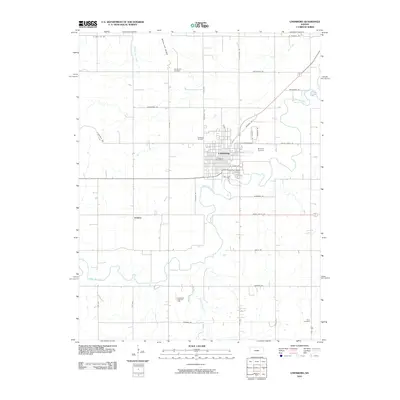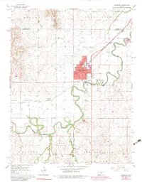
1965 Map of Lindsborg
USGS Topo · Published 1983About this map
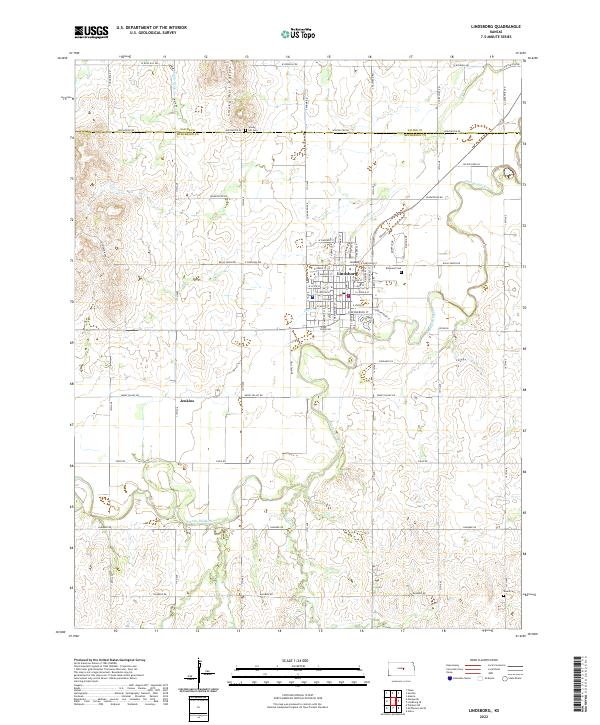
Bethany College serves as the cultural anchor of Lindsborg, situated along the winding course of the Smoky Hill River in central Kansas. The town's grid is well-established by the mid-1960s, featuring local landmarks like Soderstrom Sch, a Post Office, and a Hospital. To the north, Coronado Heights Park overlooks the Smoky Hill Buttes, while the Union Pacific railroad tracks bisect the landscape, providing a vital link for the agricultural and industrial activities of the era. The southern portion of the map reveals the Lindsborg South Oil Field and the small settlement of Jenkins, highlighting the importance of petroleum extraction alongside traditional farming. Scattered rural landmarks such as Elvings Sch and Riverside Sch offer a detailed look at the township's educational history, while several cemeteries, including Elmwood Cemetery, provide valuable records for local genealogy.
Find a feature on this map
35 named features on this map. Tap any name to fly to it.
Don’t see what you’re looking for? This feature index may not catch every label — zoom into the map to look around manually.
Map Details
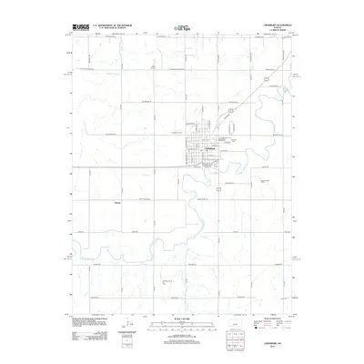
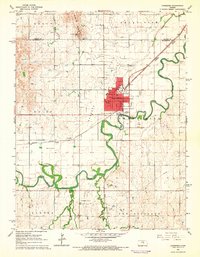
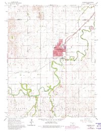
Editions of this 1965 Lindsborg Map
3 editions found
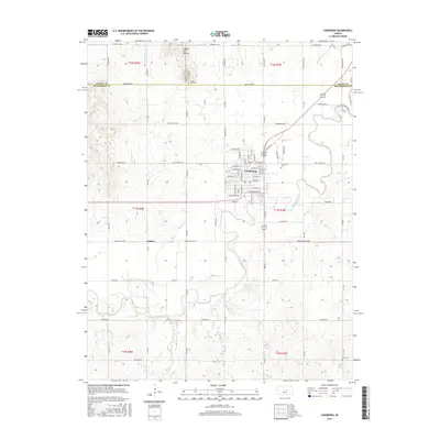
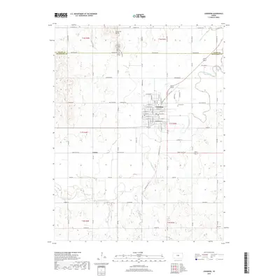
Historical Maps of Lindsborg Through Time
6 maps found