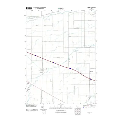
2010 Map of Lindsey
USGS Topo · Published 2010About this map
Lindsey serves as the central hub of this agricultural landscape in Sandusky County, defined by a dense network of drainage swales and meandering creeks. The village is home to the Lindsey Post Office and is flanked by family-named burial sites including Lindsey Cemetery and Overmyer Cemetery. The land is meticulously organized by a grid of county roads that navigate around the natural hydrology of the Portage River and Muddy Creek.
Find a feature on this map
63 named features on this map. Tap any name to fly to it.
Don’t see what you’re looking for? This feature index may not catch every label — zoom into the map to look around manually.
Map Details
Editions of this 2010 Lindsey Map
This is the sole edition of this map. No revisions or reprints were ever made.
Other maps of this area

1900 · Maumee Bay
USGS Topo · 1:62,500

1900 · Oak Harbor
USGS Topo · 1:62,500

1901 · Fremont
USGS Topo · 1:62,500

1901 · Elmore
USGS Topo · 1:62,500

1903 · Fremont
USGS Topo · 1:62,500

1903 · Elmore
USGS Topo · 1:62,500

1935 · Genoa
USGS Topo · 1:24,000
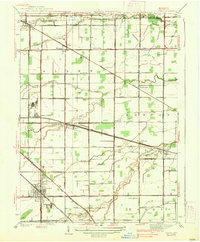
1938 · Genoa
USGS Topo · 1:31,680
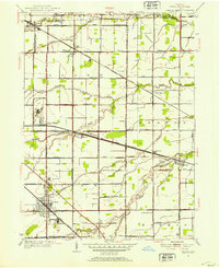
1952 · Genoa
USGS Topo · 1:24,000

1952 · Oak Harbor
USGS Topo · 1:24,000