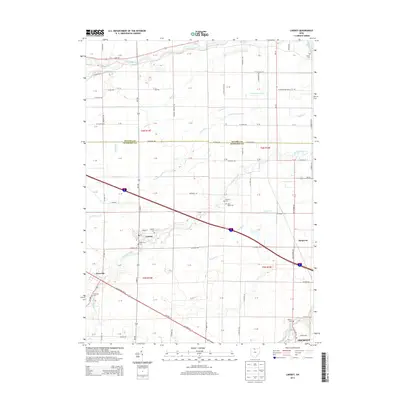
2013 Map of Lindsey
USGS Topo · Published 2013About this map
Lindsey and Hessville anchor this agricultural corridor in northwestern Ohio, where the boundary between Ottawa and Sandusky counties cuts through a landscape defined by organized drainage and small-town junctions. The Portage River winds across the northern edge, while a complex network of waterways including Ninemile Cr, Muddy Creek, and Fishing Cr underscores the region's low-lying nature, notably at Cottonwood Swale. For genealogists, the map is remarkably dense with burial grounds, featuring the Lindsey Cem, Hessville Cem, Saint Pauls Cem, and several smaller family sites like Roose Cem and Overmyer Cem. These landmarks, along with the Post Office in Lindsey, reflect a settled rural community maintained through centuries of farming and small-scale development.
Find a feature on this map
106 named features on this map. Tap any name to fly to it.
Don’t see what you’re looking for? This feature index may not catch every label — zoom into the map to look around manually.
Map Details
Editions of this 2013 Lindsey Map
This is the sole edition of this map. No revisions or reprints were ever made.
Other maps of this area

1900 · Maumee Bay
USGS Topo · 1:62,500

1900 · Oak Harbor
USGS Topo · 1:62,500

1901 · Fremont
USGS Topo · 1:62,500

1901 · Elmore
USGS Topo · 1:62,500

1903 · Fremont
USGS Topo · 1:62,500

1903 · Elmore
USGS Topo · 1:62,500

1935 · Genoa
USGS Topo · 1:24,000
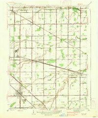
1938 · Genoa
USGS Topo · 1:31,680
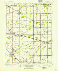
1952 · Genoa
USGS Topo · 1:24,000

1952 · Oak Harbor
USGS Topo · 1:24,000