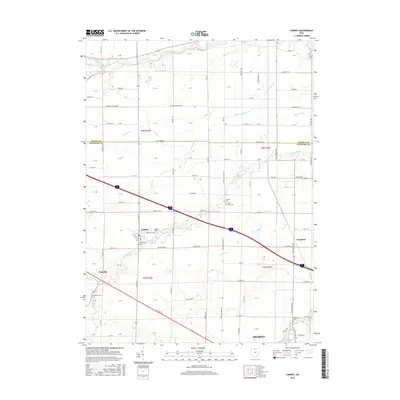
2016 Map of Lindsey
USGS Topo · Published 2016About this map
Lindsey and its surrounding townships in Sandusky County are defined by a complex network of waterways and a deep agricultural tradition. The village of Lindsey serves as a central hub, with its street grid anchored by Lindsey Cemetery and Overmyer Cemetery. The landscape is a patchwork of section lines and drainage features, including the Portage River to the north and the meandering path of Muddy Creek. Local history and genealogy are preserved through numerous family-named landmarks and rural burial grounds such as Hessville Cemetery near the settlement of Hessville and Binkley Cemetery on the outskirts of Fremont. The intersection of several distinct drainage systems like Cottonwood Swale and Fishing Creek illustrates the area's ongoing management of the northwestern Ohio prairie and marshland for productive use.
Find a feature on this map
121 named features on this map. Tap any name to fly to it.
Don’t see what you’re looking for? This feature index may not catch every label — zoom into the map to look around manually.
Map Details
Editions of this 2016 Lindsey Map
This is the sole edition of this map. No revisions or reprints were ever made.
Other maps of this area

1900 · Maumee Bay
USGS Topo · 1:62,500

1900 · Oak Harbor
USGS Topo · 1:62,500

1901 · Fremont
USGS Topo · 1:62,500

1901 · Elmore
USGS Topo · 1:62,500

1903 · Fremont
USGS Topo · 1:62,500

1903 · Elmore
USGS Topo · 1:62,500

1935 · Genoa
USGS Topo · 1:24,000
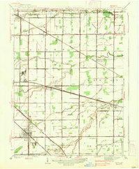
1938 · Genoa
USGS Topo · 1:31,680
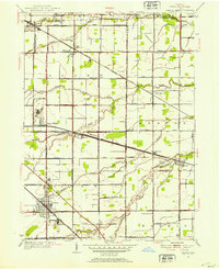
1952 · Genoa
USGS Topo · 1:24,000

1952 · Oak Harbor
USGS Topo · 1:24,000