2023 Map of Lindsey
USGS Topo · Published 2023About this map
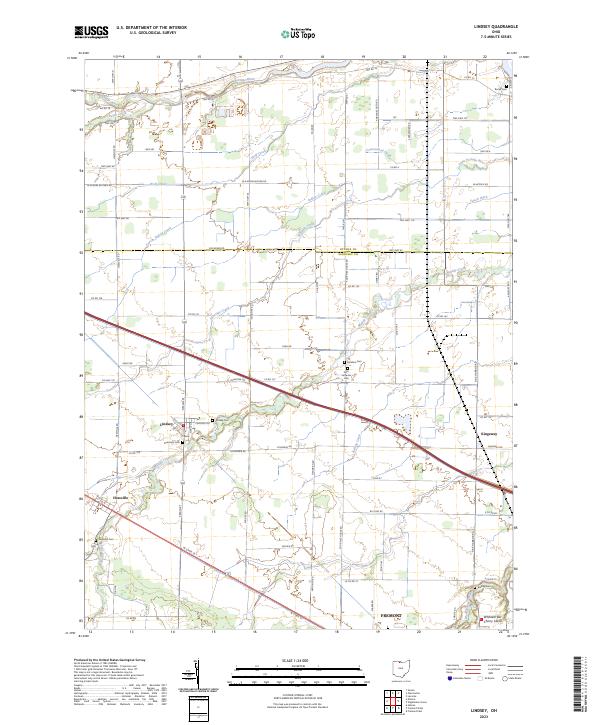
Lindsey stands as the primary settlement in this corner of Sandusky County, situated at the intersection of N Main St and W State St. The landscape is defined by its intricate drainage patterns, with the Portage River winding across the northern boundary and numerous smaller waterways like Wolf Creek, Indian Creek, and Fishing Creek traversing the agricultural grid. This network of creeks and man-made drainage, such as Yauch Ditch, illustrates the reclamation of the region's low-lying terrain for farming.
Find a feature on this map
89 named features on this map. Tap any name to fly to it.
Don’t see what you’re looking for? This feature index may not catch every label — zoom into the map to look around manually.
Map Details
Editions of this 2023 Lindsey Map
This is the sole edition of this map. No revisions or reprints were ever made.
Historical Maps of Fremont Through Time
3 maps found