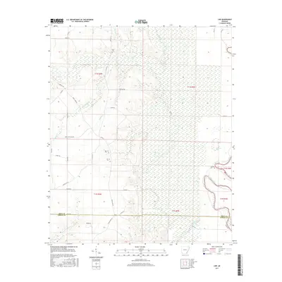
2017 Map of Line
USGS Topo · Published 2017About this map
Bayou Bartholomew meanders through the eastern wetlands of this Arkansas landscape, defining the borderlands between Drew and Ashley counties. This 2017 survey reveals a rural territory characterized by dense hydrography and a network of county roads. The drainage pattern, featuring Wolf Creek and Stephens Creek, suggests the low-lying nature of the Delta region. Genealogists will find particular value in the documentation of several family and community burial sites, including the Old Troy and New Troy cemeteries. The presence of Townsend Lake and the Townsend Cemetery nearby indicates the long-standing influence of specific families on the local geography. Significant transportation routes like the Lower Gates Mainline and various numbered county roads, such as Co Rd 51 and Ashley Road 60, provide a framework for the agricultural and timber-related movement across the quadrangle.
Find a feature on this map
46 named features on this map. Tap any name to fly to it.
Don’t see what you’re looking for? This feature index may not catch every label — zoom into the map to look around manually.
Map Details
Editions of this 2017 Line Map
This is the sole edition of this map. No revisions or reprints were ever made.
Other maps of this area

1935 · Mist
USGS Topo · 1:62,500

1935 · Cominto
USGS Topo · 1:62,500

1936 · McGehee
USGS Topo · 1:62,500

1936 · Lake Village
USGS Topo · 1:62,500

1937 · McGehee
USGS Topo · 1:62,500

1953 · Greenwood
USGS Topo · 1:250,000

1955 · Lake Village
USGS Topo · 1:62,500

1955 · McGehee
USGS Topo · 1:62,500

1956 · Greenwood
USGS Topo · 1:250,000

1960 · Snyder
USGS Topo · 1:24,000