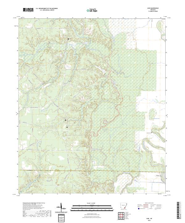
2024 Map of Line
USGS Topo · Published 2024About this map
Cutoff Creek meanders through the central lowlands of this landscape, defining the boundary between the upland forests and the alluvial plains of the southeast. The area is characterized by a dense network of water bodies, most notably the winding Bayou Bartholomew and Townsend Lake on the eastern edge. For genealogists, the map preserves the locations of several burial sites, including Old Troy Cem, New Troy Cem, and Roper Cem, which point to early settlement patterns in the Line quadrangle.
Find a feature on this map
50 named features on this map. Tap any name to fly to it.
Don’t see what you’re looking for? This feature index may not catch every label — zoom into the map to look around manually.
Map Details
Editions of this 2024 Line Map
This is the sole edition of this map. No revisions or reprints were ever made.
Other maps of this area

1935 · Mist
USGS Topo · 1:62,500

1935 · Cominto
USGS Topo · 1:62,500

1936 · McGehee
USGS Topo · 1:62,500

1936 · Lake Village
USGS Topo · 1:62,500

1937 · McGehee
USGS Topo · 1:62,500

1953 · Greenwood
USGS Topo · 1:250,000

1955 · Lake Village
USGS Topo · 1:62,500

1955 · McGehee
USGS Topo · 1:62,500

1956 · Greenwood
USGS Topo · 1:250,000

1960 · Snyder
USGS Topo · 1:24,000