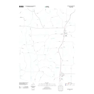
2013 Map of Lineville
USGS Topo · Published 2013About this map
The Lineville and South Lineville communities sit directly on the state boundary, illustrating a shared cross-border history between Iowa and Missouri. This 2013 survey highlights a rural landscape defined by the winding course of the Weldon River and its numerous tributaries, including Caleb Cr, Sand Cr, and Mineral Springs Br. The southern portion of the map centers on Mercer, where local landmarks like Lions Community Park Lake provide a focal point for the settlement. Further north, the small settlement of Morgan appears along 300th St, connected by a grid of county roads such as Co Hwy-R69 and Co Hwy-J66. The area's hydrology is complex, with several named branches like Collier Br, Ragan Br, and Lick Br carving through the terrain. The presence of Route 65 serves as the primary north-south artery, linking these dispersed communities across the rolling countryside.
Find a feature on this map
85 named features on this map. Tap any name to fly to it.
Don’t see what you’re looking for? This feature index may not catch every label — zoom into the map to look around manually.
Map Details
Editions of this 2013 Lineville Map
This is the sole edition of this map. No revisions or reprints were ever made.
Other maps of this area

1946 · Princeton
USGS Topo · 1:62,500

1948 · Princeton
USGS Topo · 1:62,500

1954 · Centerville
USGS Topo · 1:250,000

1957 · Centerville
USGS Topo · 1:250,000

1958 · Centerville
USGS Topo · 1:250,000

1964 · Ravanna
USGS Topo · 1:24,000

1964 · Woodland
USGS Topo · 1:24,000

1964 · Pleasanton
USGS Topo · 1:24,000

1964 · Cleopatra
USGS Topo · 1:24,000

1964 · Leon
USGS Topo · 1:24,000