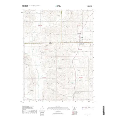
2018 Map of Lineville
USGS Topo · Published 2018About this map
The Iowa-Missouri border bisects this landscape, running directly through the heart of Lineville and its neighbor, South Lineville. This unique border-straddling settlement serves as a focal point for the region, where the Weldon River and its various tributaries, including Caleb Cr and Sand Cr, carve a dissected terrain across the state line. Further south, the town of Mercer anchors the Missouri side of the map, situated near the headwaters of Mineral Springs Br and Collier Br.
Find a feature on this map
79 named features on this map. Tap any name to fly to it.
Don’t see what you’re looking for? This feature index may not catch every label — zoom into the map to look around manually.
Map Details
Editions of this 2018 Lineville Map
This is the sole edition of this map. No revisions or reprints were ever made.
Other maps of this area

1946 · Princeton
USGS Topo · 1:62,500

1948 · Princeton
USGS Topo · 1:62,500

1954 · Centerville
USGS Topo · 1:250,000

1957 · Centerville
USGS Topo · 1:250,000

1958 · Centerville
USGS Topo · 1:250,000

1964 · Ravanna
USGS Topo · 1:24,000

1964 · Woodland
USGS Topo · 1:24,000

1964 · Pleasanton
USGS Topo · 1:24,000

1964 · Cleopatra
USGS Topo · 1:24,000

1964 · Leon
USGS Topo · 1:24,000