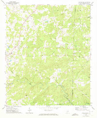
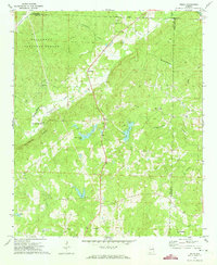
1970 Map of Lineville East
USGS Topo · Published 1973About this map
The town of Lineville serves as the western anchor for this 1970 landscape, where the rural topography of east-central Alabama meets the Clay Co Randolph Co boundary. The Seaboard Coast Line railroad creates a distinct corridor through the hills, connecting the larger settlement of Lineville to the smaller community of Cragford in the southeast. This survey reflects a deeply established rural social fabric, evidenced by the high density of country churches and family burial grounds scattered throughout the creek valleys.
Find a feature on this map
35 named features on this map. Tap any name to fly to it.
Don’t see what you’re looking for? This feature index may not catch every label — zoom into the map to look around manually.
Map Details
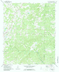
Editions of this 1970 Lineville East Map
2 editions found
Other maps of this area

1891 · Ashland
USGS Topo · 1:125,000

1953 · Atlanta
USGS Topo · 1:250,000

1957 · Atlanta
USGS Topo · 1:250,000

1958 · Atlanta
USGS Topo · 1:250,000

1969 · Wadley North
USGS Topo · 1:24,000

1969 · Gibsonville
USGS Topo · 1:24,000

1969 · Mellow Valley
USGS Topo · 1:24,000
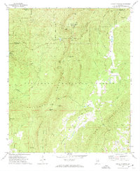
1969 · Cheaha Mountain
USGS Topo · 1:24,000
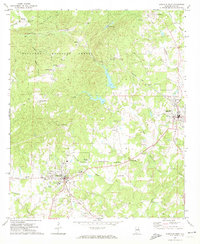
1969 · Lineville West
USGS Topo · 1:24,000
1970 · Delta
USGS Topo · 1:24,000