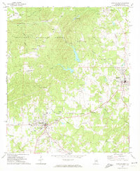
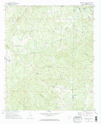
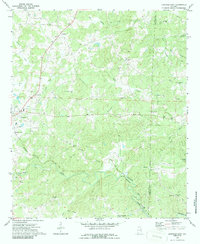
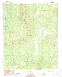
1969 Map of Lineville West
USGS Topo · Published 1974This historical map portrays the area of Lineville West in 1969, primarily covering Clay County. Featuring a scale of 1:24000, this map provides a highly detailed snapshot of the terrain, roads, buildings, counties, and historical landmarks in the Lineville West region at the time. Published in 1974, it is one of 2 known editions of this map due to revisions or reprints.
Find a feature on this map
51 named features on this map. Tap any name to fly to it.
Don’t see what you’re looking for? This feature index may not catch every label — zoom into the map to look around manually.
Map Details
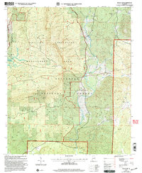
Editions of this 1969 Lineville West Map
2 editions found
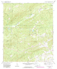
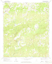
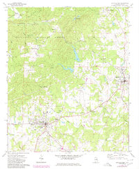
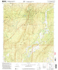
Historical Maps of Campbell Springs Through Time
12 maps found

1969 Cheaha Mountain
Clay County, AL
1969 Clairmont Springs
Clay County, AL
1969 Gibsonville
Clay County, AL
1969 Lineville West
Clay County, AL
1969 Mellow Valley
Clay County, AL
1970 Lineville East
Clay County, AL
1975 Cheaha Mountain
Clay County, AL
1975 Goodwater NE
Clay County, AL
1987 Bulls Gap
Clay County, AL
2001 Bulls Gap
Clay County, AL
2001 Cheaha Mountain
Clay County, AL
2001 Clairmont Springs
Clay County, AL