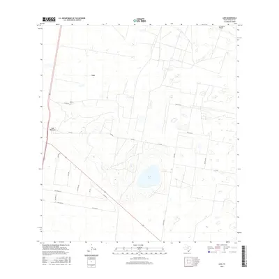
2016 Map of Linn
USGS Topo · Published 2016About this map
Sal del Ray, a natural salt lake, sits at the heart of this Hidalgo County landscape, surrounded by the distinctive ranching and brush country of South Texas. The area is defined by a network of private ranch roads and lanes with names that reflect the local wildlife and heritage, such as Los Venados Dr, Buck Fawn Ln, and El Rucio Rd. The small settlements of Linn and San Manuel serve as anchors along the western corridor, where the El Rucio Cem provides a point of genealogical interest for those tracing family roots in this rural community. The map illustrates a transition between open grazing land like Los Machos Pasture and the structured grid of property lines and secondary roads like Blush Line Rd and Chapa Rd that crisscross the arid terrain.
Find a feature on this map
19 named features on this map. Tap any name to fly to it.
Don’t see what you’re looking for? This feature index may not catch every label — zoom into the map to look around manually.
Map Details
Editions of this 2016 Linn Map
This is the sole edition of this map. No revisions or reprints were ever made.
Other maps of this area

1922 · La Sal Vieja
USGS Topo · 1:62,500

1939 · Linn
USGS Topo · 1:62,500

1949 · Mc Allen
USGS Topo · 1:250,000

1953 · Brownsville
USGS Topo · 1:250,000

1954 · McAllen
USGS Topo · 1:250,000

1956 · Andrea Ranch
USGS Topo · 1:24,000

1956 · La Sal Vieja
USGS Topo · 1:24,000

1956 · La Sal Vieja
USGS Topo · 1:62,500

1956 · Brownsville
USGS Topo · 1:250,000

1956 · Port Isabel
USGS Topo · 1:250,000