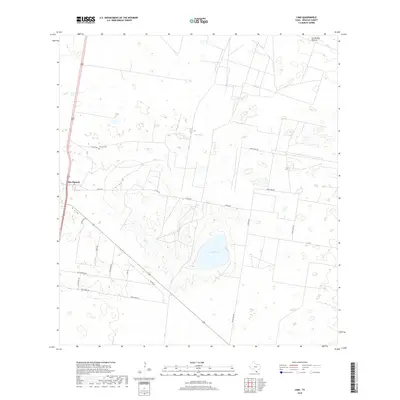
2019 Map of Linn
USGS Topo · Published 2019About this map
Sal del Ray, a large salt lake and prominent geographic feature of the Rio Grande Valley, dominates the southern central portion of this Hidalgo County landscape. The area is characterized by vast tracts of ranchland and brush country, including Los Machos Pasture to the northeast. To the west, the settlement of San Manuel serves as a small hub along the highway, while the nearby El Rucio Cem on El Rucio Rd provides a point of interest for genealogists tracing local families. The road network, including Chapa Rd and Brush Line Rd, reflects a history of partitioned land and ranching access. Many residential streets in the southern portion, such as Los Venados Dr and Buck Fawn Ln, use wildlife-themed names that highlight the region's hunting and natural heritage.
Find a feature on this map
18 named features on this map. Tap any name to fly to it.
Don’t see what you’re looking for? This feature index may not catch every label — zoom into the map to look around manually.
Map Details
Editions of this 2019 Linn Map
This is the sole edition of this map. No revisions or reprints were ever made.
Other maps of this area

1922 · La Sal Vieja
USGS Topo · 1:62,500

1939 · Linn
USGS Topo · 1:62,500

1949 · Mc Allen
USGS Topo · 1:250,000

1953 · Brownsville
USGS Topo · 1:250,000

1954 · McAllen
USGS Topo · 1:250,000

1956 · Andrea Ranch
USGS Topo · 1:24,000

1956 · La Sal Vieja
USGS Topo · 1:24,000

1956 · La Sal Vieja
USGS Topo · 1:62,500

1956 · Brownsville
USGS Topo · 1:250,000

1956 · Port Isabel
USGS Topo · 1:250,000