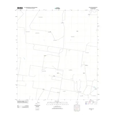
2012 Map of Linn NW
USGS Topo · Published 2012About this map
Santa Fe Ranch and Los Indios Ranch anchor this landscape in northern Hidalgo County, where ranching culture and resource extraction define the local economy. The terrain is marked by an extensive network of named windmills, vital for water management in this arid stretch of South Texas. These features, including Agua Dulce Windmill, Muertos Windmill, and Noche Buena Windmill, serve as critical landmarks across the divided pastures and range lands. The map also documents the industrial presence of the Beaurline Gas Field and Los Indios Gas Field, illustrating how petroleum interests have been integrated into the traditional ranching landscape. Large tracts like the San Juan Pasture demonstrate the scale of landholdings in the region during the early 21st century.
Find a feature on this map
25 named features on this map. Tap any name to fly to it.
Don’t see what you’re looking for? This feature index may not catch every label — zoom into the map to look around manually.
Map Details
Editions of this 2012 Linn NW Map
This is the sole edition of this map. No revisions or reprints were ever made.
Other maps of this area

1939 · Linn
USGS Topo · 1:62,500

1939 · La Reforma
USGS Topo · 1:62,500

1939 · Encantada
USGS Topo · 1:62,500

1949 · Mc Allen
USGS Topo · 1:250,000

1954 · McAllen
USGS Topo · 1:250,000

1957 · Mc Allen
USGS Topo · 1:250,000

1962 · McAllen
USGS Topo · 1:250,000
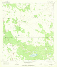
1963 · Callo Padrones
USGS Topo · 1:24,000

1963 · Linn NW
USGS Topo · 1:24,000
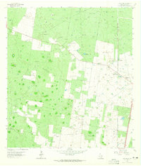
1963 · Linn Siding
USGS Topo · 1:24,000